Here is an example of what I've been using to plot out routes on our GPS (here, our recent trip to Hells Gate National Park, click to enlarge):
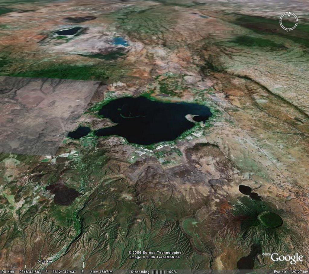
And now adding the Tracks4Africa overlay in Google earth, you get the following (click to enlarge):

It's not just the main roads that lead to the park which are overlaid, but even the secondary, off-road, and hiking tracks! On top of that there are point of interest, national park boundaries, lodges, gas stations..... it's incredible. In the picture above, Hells Gate is at the bottom left, Lake Nakuru is on the top left, and our next destination, Aberdares National Park, is just barely visible on the right.
More on Google earth here.
And more on Tracks4Africa here.


No comments:
Post a Comment